


11,9 km | 24 km-effort

Benutzer


Kostenlosegpshiking-Anwendung
 SityTrail
IGN / Geografische Institute
SityTrail World
Die Welt öffnet sich für Sie
Tour Wandern von 5,8 km verfügbar auf Réunion, Unbekannt, Le Tampon. Diese Tour wird von olive2b vorgeschlagen.
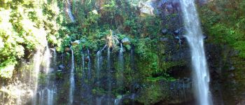
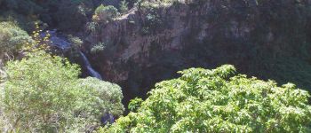
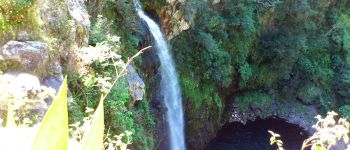
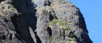
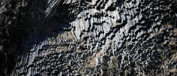
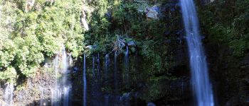
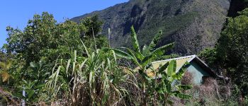
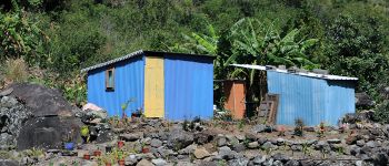
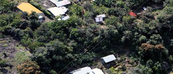
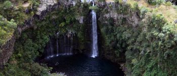
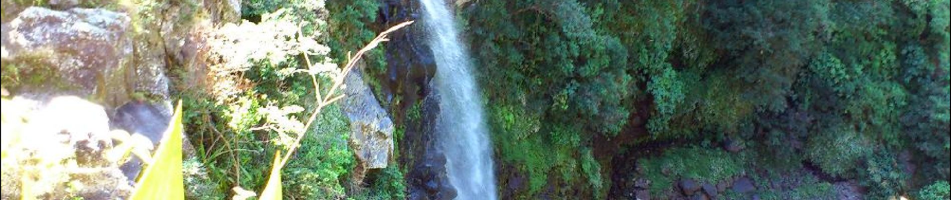
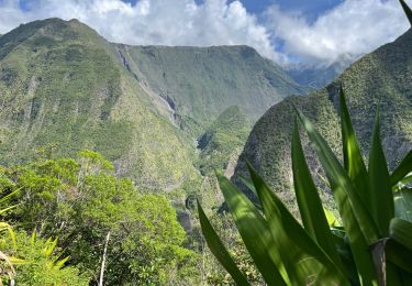
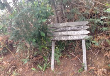
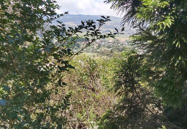
Trajet aller. Le circuit (en descente principalement) commence au départ du Belvédère de Bois Court. Vue plongeante sur Grand Bassin, et la cascade le voile de la mariée. A mi-chemin, un ravitaillement en eau est possible.


Wandern
Wandern
Wandern
Wandern
Pfad
Zu Fuß

Wandern
Wandern
Wandern
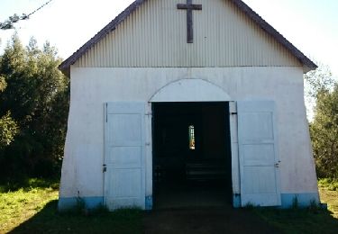
le grand bassin